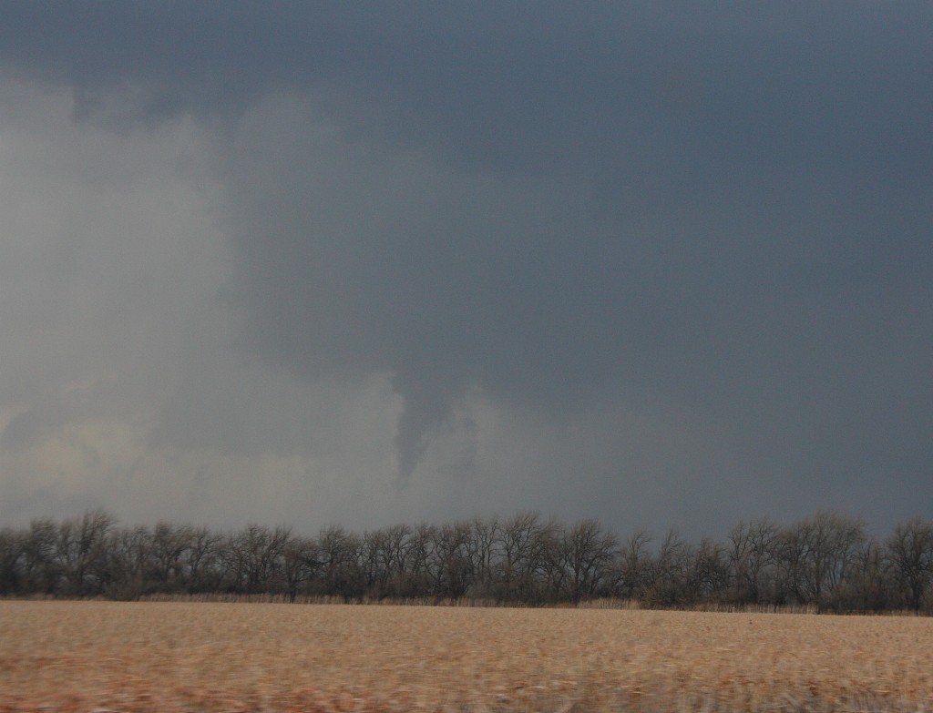
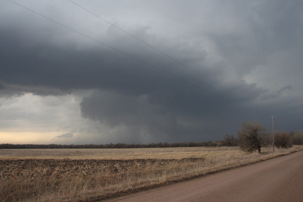
Severe Weather Potential Monday in the Western Great Lakes

A couple days ago, Lisa informed me that Dr. Greg Forbes was forecasting severe storms Monday in eastern Iowa and northern Illinois. I thought, hmmm…a bit far out to be definitive, but maybe I ought to take a look. I’ve been following the models since, and after this morning’s 6Z runs, it looks like Forbes is onto something.

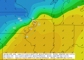
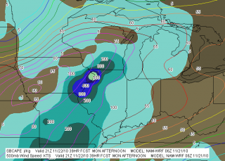
Both the NAM and GFS suggest that an area from far eastern Iowa through northern Illinois and southern Wisconsin may be under the gun in the afternoon or evening. Here are a couple of NAM maps that will give you an idea why (click on maps to enlarge). The bottom line is that a low pressure system is cranking unseasonably warm temperatures and dewpoints in the mid-50s or higher into the Great Lakes region. The potential exists for weak instability to coincide with stiff 850 and 500 mb jet cores.

The GFS paints a somewhat more aggressive picture than the NAM and wants to clip things along a few hours faster. If that pans out, then north-central Illinois and south-central Wisconsin may see the best play. But both models are calling for essentially the same thing. Note the bullseye of 500 SBCAPE and 75 J/kg 3km MLCAPE at Clinton, Iowa, coincident with a nose of Theta-E bulging into the area. The GFS depicts the same scenario, albeit at 18Z rather than 21Z.

Today, Sunday, temps are forecast to rise into the 50s here in Grand Rapids, and tomorrow they should make it into the low 60s along with a significant increase in moisture. We stand a chance for a few thunderstorms of our own, particularly when the cold front moves in Monday night. As the KGRR forecast discussion puts it, “GIVEN TEMPS IN THE LOWER 60S…IT MAY ACTUALLY FEEL A BIT HUMID MONDAY AFTERNOON. THE CURRENT MENTION OF SLGHT CHC TSRA STILL LOOKS GOOD.” The SPC day 2 outlook has even thrown in mention of isolated tornadoes from southern Michigan southward, but tomorrow’s models will give a better sense of whether that’s any real concern. Helicity should be adequate, but instability is weak, and a November night-time squall line in Michigan is not your typical tornado machine.

Right now, the bottom line looks like warmer-than-usual weather in our area today and especially tomorrow, with storms in the offing in northern Illinois and nearby areas. And behind that, setting the tone for Thanksgiving, colder weather. So enjoy this last spate of warmth, because winter is waiting in the wings.
El Nino and a Delayed 2010 Storm Season

Back in December I wrote a post speculating how El Nino might affect the moisture fetch from the Gulf of Mexico. I wrote as a non-expert, which is always my position regarding weather related stuff, but it appears that my concern about the influence of cooler sea surface temperatures on return flow actually held water.

Tornado season normally begins ramping up in Dixie Alley in February, solidifies in March, peaks in April, then begins to decline in May as the action moves west and north toward traditional Tornado Alley.

Last year the tornado total for February, 2009, was 43. It consisted of six tornado days, two of which were outbreaks of 12 and 21 tornadoes.

This year, the tally for February was a statistically unprecedented zero. That’s no, nada, zippo tornadoes at all last month. Instead, the South experienced record-breaking cold weather, with snow in virtually all of the southern states and a series of brutal winter storms lashing Oklahoma, Texas, and parts of Dixie Alley.

Now we’re into March, and the snow seems to finally be behind us. As I sit here writing, I can look out the sliding doors of my apartment at a beautiful day with temperatures climbing into the mid forties. I’ll take that with a smile, along with the warming trend that’s in store for this coming week here in West Michigan. But at the same time, sampling buoys across the Gulf of Mexico, I see water temperatures in the low to mid fifties and some really horrible dewpoints. It looks a lot like what the ENSO sea surface temperature table has predicted, namely, cooler-than-average temperatures.

We’re presently looking at  systems moving through the Plains that might be tornado breeders if they weren’t starved for moisture. It’s hard to get excited about dewpoints that barely scrape into the low to mid fifties pretty much everywhere except waaay down in southern Texas and Louisiana.

no images were found

Okay, it’s only March. What’s a bit scary is to think that the Gulf may not be up to snuff till as late as May. Click on this image of the Climate Prediction Center”s ENSO sea surface temperature anomaly forecast, updated March 1, and you’ll see what I’m talking about. The first two tables are the ones you want to pay attention to. That blue in the Gulf of Mexico doesn’t look too promising.

I hope I’m wrong, and it could be that I am. A quick glance at water temperatures west of the Florida peninsula shows some temps into the seventies well out into the Gulf, so maybe things will pick up more quickly than the map suggests. The ENSO update does indicate that El Nino is weakening:

•A majority of the models indicate that the Niño-3.4 temperature departures will gradually decrease at least into the summer.

•The models are split with the majority indicating ENSO-neutral conditions by May-July 2010 and persisting into the Fall. Several models also suggest the potential of continued El Niño conditions or the development of La Niña conditions during the Fall.

–Page 27, March 1, 2010, CPC-NCEP ENSO Update

That’s a good sign, kind of. The last part leaves us hanging, but as always, time will tell.

More immediately, I wonder, as I did three months ago, whether we won’t see a delayed storm season. I think, I hope, that when it does finally arrive, it will be a stellar one.  There’s reason to be hopeful, considering the ample ground moisture available for evapotranspiration throughout Tornado Alley, including areas that languished last year under a severe drought. No such problem this year. I hear some chasers talking about West Texas, and I’ll bet they’re right. Once the Gulf finally does set up shop, whether sooner or later, I expect to be making some trips out west. See y’all at the edge of the meso.

Moderate Risk in West Oklahoma and Texas

My buddies Bill and Tom Oosterbaan and Derek Mohr are heading for today’s sweet zone out in western Oklahoma. The Storm Prediction Center has placed the area under a moderate risk, with an indication of strong tornadoes. No doubt. With CAPE exceeding 2,000 and decent helicity and upper-level support increasing by 0Z, all the ingredients will be there. I’d imagine the guys will be playing the triple point per the SPC, where helicity will be maximized. Should be quite the caravan out there today. A person with a popcorn truck and GR3 could make a killing on a chase day.

Farther north, back here in Michigan, we’re sitting under our first light risk day of the year. As I write, it’s approaching 11 a.m. and the temperature is already in the upper 70s with dewpoints tapping on 60 degrees. But the forecast soundings look miserable, with adequate bulk shear but squat in the way of directional turning and some truly weird-looking hodographs. The sounding for 21Z out in the east central Texas panhandle, on the other hand, out around Mobeetie and Wheeler, looks great.

Sigh.

Well, we’ve got rain outside. Big drops.

At least “the kids”–my collection of carnivorous plants–will be happy. I just potted my three latest arrivals: a parrot pitcher plant, a maroon-throat variety of the pale pitcher plant, and the Gulf variety of the sweet pitcher plant. They’re sitting out on the deck along with the rest of my little family, soaking in the warmer temperatures, humidity, ambient light, and now the precip. It’s a fine day for the plants here in Michigan, and a good one as well for writers and jazz musicians if not storm chasers.

Time to fire up the radar and see what’s on the way.

First Storm Chase, 2009

What a memorable way to kick off storm season 2009! Yesterday, I chased supercells in Kansas with my buddy, Bill Oosterbaan, and today we attended Tim Vasquez’s severe weather forecasting workshop in Norman, Oklahoma. I’m writing this post from a Best Western Hotel maybe a mile north of where the 1999 Moore tornado crossed I-35. All in all, not a bad past couple of days for a lad from Michigan.

Yesterday’s chase began with a visit to Picher, Oklahoma. The southern portion of this tiny town got wiped out last spring by an EF-4 tornado. Today, a year later, that desolate landscape shows scant chance of recovery. It’s a sobering place to visit.

But that’s another story for a different post. Right now, I just want to share a couple images from yesterday’s chase. The moisture was marginal, with dewpoints averaging around 55 degrees up toward the warm front north of Wichita. That’s where we headed, in search of the better helicities. A lot of folks questioned the setup, but it produced. The storm we intercepted put out four tornadoes, though those occurred before we caught up with it. We still saw some nice structure, including a nice wall cloud and a funnel. Check ’em out.

Funnel Cloud

Funnel Cloud

Nice Structure!

Nice Structure!

Severe Weather Forecasting Workshop and Southern Plains Drought

It’s Thursday, and I’m in Louisville, Kentucky, with my buddy Bill. He’s got business here, and I’m taking care of business here on my laptop, and then we head to Norman, Oklahoma, for a severe weather forecasting workshop with Tim Vasquez. At times like this, I’m grateful for the freedom and mobility that come with being a freelance writer. As long as there’s work for me to do, I can do it pretty much anywhere provided I have my laptop and Internet access.

I’ve been hoping to catch a little early-season convective excitement this Saturday. Not sure that’s going to happen, though. The wild card seems to be moisture, but capping may also be a problem. It would be a shame to make the journey to Oklahoma and not see a little decent, Great Plains weather. Of course, that’s not the focus of the trip–the forecasting workshop is–but still, a supercell or two would be nice. Unfortunately, it looks like a cold front will provide the lift that finally busts the cap, and that suggests “linear.”

Sunday is the workshop, so I don’t much care what the weather does that day. I’ll be in class.

Monday may offer another crack at things, and it may be our best opportunity. It’s too far out to say (for that matter, Saturday is still a bit too far off yet to feel either good or bad about it), but assuming that the southern Plains at least get a bit of rain to relieve their dry spell and give the ground a good soaking, moisture may not be the question mark that it is for Saturday’s setup.

Frankly, the current forecast discussion on Stormtrack is the first time I’ve given serious thought to the effect of soil conditions on convection. I had always thought of ground moisture and evapotranspiration as just enhancements to the return flow, not potential deal-breakers. To my mind, a nice, deep low pulling in rich dewpoints from the Gulf of Mexico would more than compensate for dry regional conditions. But more than one seasoned Great Plains storm chaser has looked at the current drought conditions in Texas and Oklahoma and opined skeptically about the chances for 2009 being a good chase year in the West unless the region sees some rain.

Ah, well. The season hasn’t even begun yet, so I’ll take what I can get and hope for better as we move into May and June. Right now, it’s nice to simply see the sun shine, feel fifty-degree temperatures, and know that winter is drawing to a close.

Preparing for Storm Season 2009

Out of curiosity, I just ran the GFS down to 384 hours. The SPC has posted a light risk for parts of the South on Wednesday, but that may be just a foretaste of an upcoming active period. Did I already write about this recently? Not sure, but if so, I’m writing again.

Long-range prognostication is something like reading tea leaves, but consulting the numerical models still beats going to a groundhog for your two-week weather forecast. At around 204 hours, a nice surge of moisture appears to unlock the the Gulf of Mexico for several days, with 55 degree  dewpoints extending as far north as Missouri, southern Illinois, and Indiana.

Am I hanging my hat on this? Heck no. I’m just thinking, quite wistfully, how nice it would be if what I just saw bore some resemblance to how things actually play out nine days hence. In February, one dreams if he’s a northerner and shudders if he’s a resident of Dixie Alley.

I’m anxious to to see some great storms this year. Last year was fabulous, but I blew some great photo ops because I didn’t know how to use my camera. This year I think I’ve overcome that concern. Now if only the weather and my finances will cooperate.

Meanwhile, I’ve decided to make the best of the holding pattern by signing up for Tim Vasquez’s severe weather forecasting class. It’s a small group setting that will be held on Sunday, March 8, in Norman, Oklahoma. I just shelled out my hundred bucks today and am really looking forward to attending this thing. My chase partner, Bill Oosterbaan, will be joining me. This ought to be a perfect way to really tighten down our forecasting skills for storm chasing season 2009 by learning from one of the foremost gurus of the field. I own nearly all of Tim’s books, and also his Forecast Laboratory software. It’ll be cool to finally pick his brain for eight hours in a focused, fairly personal setting.

More immediately, though, this evening the sun set at 6:17 here in Caledonia, and tomorrow the temperature is supposed to spike to a sweltering 36 degrees. I’ll take that and like it for now. It presages good things to come.

GroundHog Day

Today is Groundhog Day. I don’t know whether Punxatawney Phil saw his shadow, but I have to say, I’m not willing to live or die by his abilities as a long-range weather forecaster. When it comes to chewing on roots and leaves, groundhogs’ abilities shine; as meteorologists, though, I’m less inclined to place much confidence in them.

Besides, this business of a groundhog seeing his shadow could hang on a matter of a minute or two. The day here in Michigan started out cloudy–lousy weather for viewing shadows. By around 2:15, it had cleared up, the sun was shining, and shadows could be had for cheap. Maybe Pennsylvania experienced similar circumstances, I don’t know. Did Phil go on the prowl for his shadow in the morning or the afternoon? That could make a difference. If you ask me, it all seems pretty arbitrary.

I have more confidence in the forecast models. Even though next week’s surge of moisture is a week away, I’ve got something reasonably substantial to pin my expectations on. This is the time of year when I start to get my hopes up. Action in Dixie Alley next Sunday or Monday? Could be. Looks like mid-fifties dewpoints may work their way as far north as southern Illinois. Right now, it’s just conjecture, wishcasting. But overall, while ol’ Phil seems like a nice enough fellow, I think the GFS packs a bit more credibility when it comes to the weather.