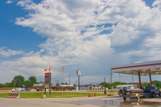
You can’t find a more quintessential border town than Pembina. It’s the last US town on I-29 before you hit Canada two miles to the north; and just across from it, on the eastern side of the Red River of the North, lie Minnesota and Pembina’s border-town twin, Saint Vincent. Tucked away in the northeast apex of North Dakota, Pembina is as far poleward as you’re ever likely to chase storms in the continental United States unless you find yourself pursuing wedges around Angle Inlet, Minnesota.
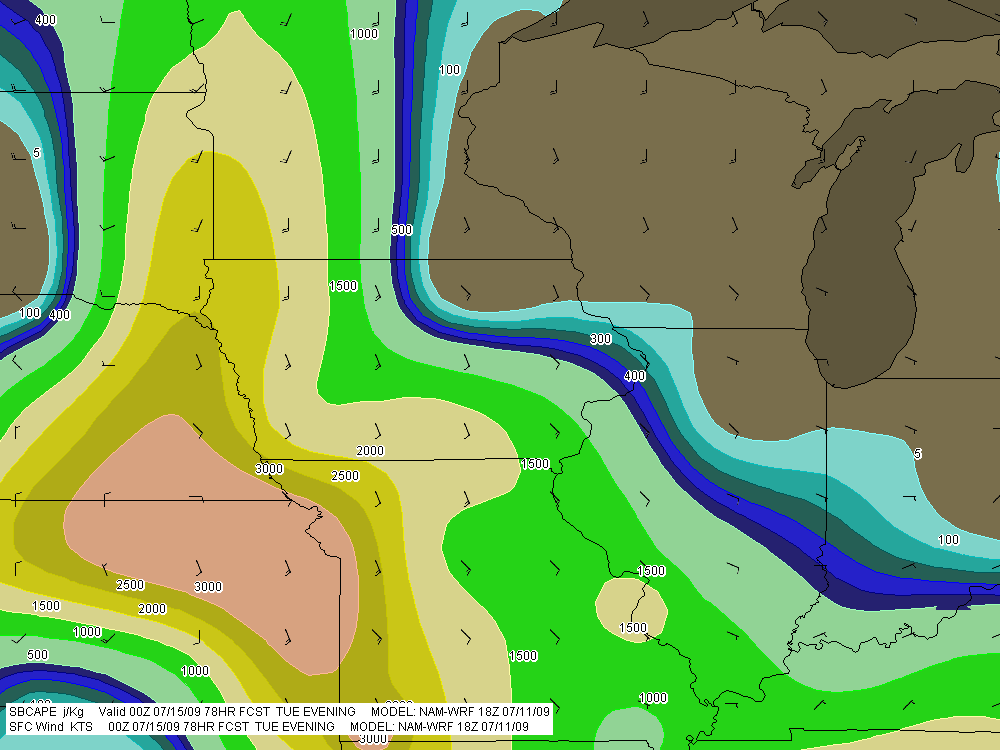
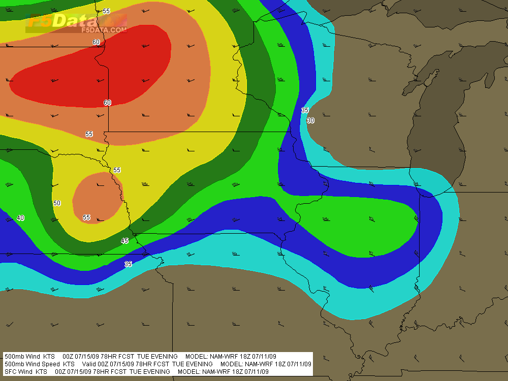
Last Saturday afternoon, Rob Forry and I gassed up at a filling station on the western edge of Pembina and contemplated the sky with fellow storm chasers Jim Parsons and Brian Spencer. The forecast models had been painting a frustrating picture, with a surface low moving northeast up into Manitoba and dragging southeast winds with it, leaving those of us without passports–which included me–with helicity-killing southwesterlies by the time storms started firing later in the day.
However, the HRRR was offering a glimmer of hope, stalling the warm front across the northernmost counties and maintaining southeasterly winds slightly south of the border as late as 01z. So there we were in Pembina in the mid-afternoon, gazing at a patch of altocumulus. On the way up, we had passed through an outflow boundary from storms earlier that morning, and now a brisk northeasterly wind reminded us that we had left the warm sector behind us.
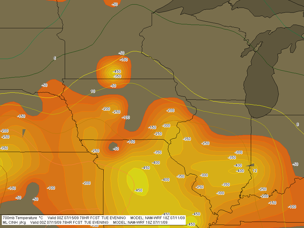
The four of us grabbed lunch at a local restaurant, then parted ways. Most chasers were congregated well to our south near Devil’s Lake, where previous forecast soundings had looked pretty compelling. Unquestionably, instability would be present. Helicity and capping were the question marks, and even as we backtracked southward and then west, I had a hunch that we would eventually wind up playing back to the north.
In the tiny prairie town of Edmore–how do people earn a living in such remote places?–Rob and I found a shady place to park and wait for things to develop. We had passed back across the frontal boundary, and the temperature was warm, the winds were blowing from the southeast, and overhead, billowing towers kept thumping against the stout cap. We hung out in our new location for maybe half an hour with John and Brian, who had rejoined us, then took off. During that short time, the surface winds had veered to the south, so we headed back north on SR 1 to where the winds were once again blowing from the southeast and then parked.
Ten or fifteen minutes passed. A dot materialized far down the road to our south and grew larger, expanding and dividing into two rapidly approaching vehicles. It was our friends Ben Holcomb and Adam Lucio, in company with a small group of other chasers I had never met. They pulled aside and we all stood around and yakked for a while. Ben was suffering from a nasty ear infection which had hit him the previous night, and while he had managed to score some antibiotics, he was still pretty miserable. But with a friend visiting him from Finland for the express purpose of chasing storms, he was sticking doggedly with the chase. Must come from having lived all those years in Michigan, where a chaser’s character is shaped by supercell deprivation.
We hung with Adam, Ben, and their crowd for a while, then continued north. The surface winds had once again veered, and surface obs showed them blowing from the south-southwest not very far south of us. It seemed to me that if we were going to have any chance at all of seeing a tornado–and admittedly, chances were slim to begin with–it would be along the northern tier of counties in the instability axis.
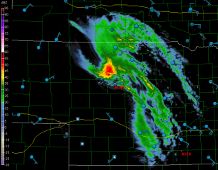
At the town of Langdon, we headed west, and it wasn’t long afterward that we witnessed a tower finally break through the cap directly overhead and blossom into a full-fledged storm. We tagged with it for a few minutes, but with just a couple miles between us and the border, we didn’t have much room to play with, so we let it go for the chasers in Canada to try their luck with.
Meanwhile, another storm was intensifying to our south, and we headed east to intercept it. From there on, storms began to multiply, but there’s no point in going into detail. The cloud bases were higher than I had expected; the ambient surface winds, which had been brisk all day, seemed to sigh away into nothingness; and the storms were outflow-dominant and just garden-variety severe. Rob and I encountered a little half-inch hail, and at one point a nearby CG which I never saw struck behind me, producing a LOUD thunderclap that sounded like a rifle shot and scared the crap out of me.
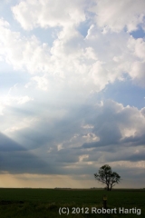
But it wasn’t the severity of the storms that made this trip memorable. It was that minimalist landscape stretching its sameness in every direction out into infinity; and it was the dome of the sky, spreading its cerulean canvas from horizon to horizon over tiny communities scattered far apart across the prairie. There, a thousand miles from my Michigan hometown and over 100 miles farther north than the northernmost point of the Keweenaw Peninsula, that sky-canvas, daubed by the Great Painter with the texture and tincture of clouds and light, rendered the panoramic emptiness of North Dakota dramatic and beautiful.
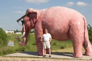
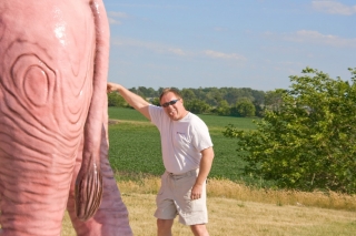
The drive back on the following day was predictably long and, for the most part, uneventful. These last two photos mark what was probably the highlight of the return trip (barring dinner at a truly fabulous sushi restaurant in Janesville, Wisconsin). Rob snapped them for me at a gas station somewhere in Wisconsin or maybe Minnesota, I forget where. But the place wouldn’t be too hard to find again. It’s probably the only gas station in America that has a sculpture of a life-size pink elephant wearing black glasses standing at the edge of the parking lot.
Naturally, Rob and I both needed to pose in front of so imposing a creature, and it wasn’t until I processed the pics afterward that I noticed the realtor’s “For Sale” sign on the left. Really, though, it’s my sign. Would you like to buy my elephant? I’ll make you a great deal. It’s a very nice elephant, well-behaved and in excellent health except for a slightly embarrassing digestive disorder for which I’ve found no remedy other than to … well, you can see how I’ve handled it.
