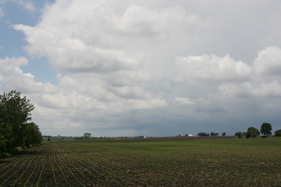
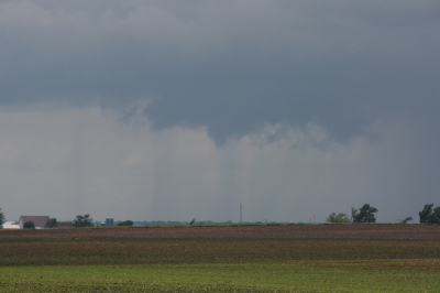
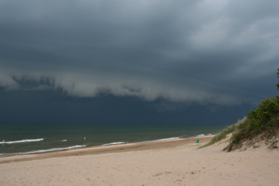
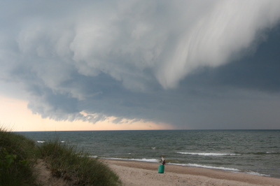
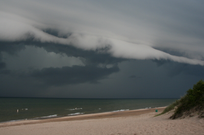
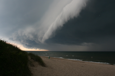
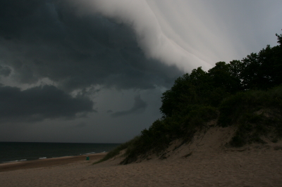
So there I was, driving down I-96 toward my mother and sister’s house in Grand Rapids this afternoon, when I saw what at first glance looked like a wall cloud. It looked like one at second glance, too, and third, hanging off of a cumulus tower in the distance.
Severe weather wasn’t in the outlook today, and in fact, the afternoon was coolish and not particularly moist, with spotty showers but no thunder or lightning. I was unaware of any reason to be on the lookout for abnormal weather, though the extent of the vertical development in the cumulus clouds coupled with their nicely sheared look would have been a tip-off under more propitious circumstances.
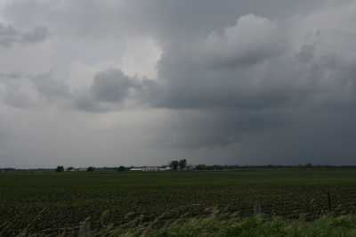
Anyway, I was intrigued by the cloud formation, but not quite prepared to call it anything more than a lowering at that point. It was falling apart over Grand Rapids by the time I turned north onto the East Beltline. But the show was far from over. Another large towering cumulus several miles to my northwest was exhibiting an even larger, blocky lowering which wasn’t showing any signs of dissipating.
That did it. It was time to get close enough to this thing to see just exactly what it was. This was a simple matter. The cloud was drifting quite slowly, and intercepting it involved nothing more elaborate than continuing north up the Beltline past 7 Mile Road, then pulling into a small turn-in, where I had an unobstructed view from maybe half a mile away.
The cloud was indeed a wall cloud. I could see a weak updraft dragging scud up into it, and even a hint of an RFD. More important, the cloud was circulating–very slowly, to be sure, but unmistakably. As it moved closer, I even observed a small, anticyclonic vortex spinning almost directly overhead. There was obviously enough shear and helicity in the atmosphere to create some interest, and I had a nice front-row seat. Just wish I’d had my camera with me, but as I said, I wasn’t expecting anything weatherwise today that would have made me think to grab it.
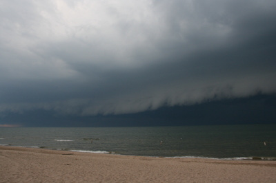
What I was seeing struck me as more fascinating than threatening, but I decided to call KGRR and report it anyway, just for the record. The met who took my information said he wasn’t surprised. He told me that the office had already received several reports of waterspouts out on Lake Michigan, plus other reports of funnel clouds. Sounded like a cold air funnel outbreak.
My buddy Kurt Hulst called later to tell me that he, too, had seen a wall cloud over Caledonia from where he lives in Kentwood. If I’d been home, it would have been a front door delivery, but of course I wasn’t. Seems to me, though, that Kurt said he got some photos. I hope so, because I’d like to see what I missed.
Days like today just go to show that the weather does what it wants, when it wants. Maybe the local WFO will offer an analysis of today’s conditions. That would be cool.
Lesson learned: take my camera with me wherever I go.
