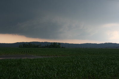
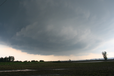
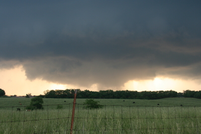
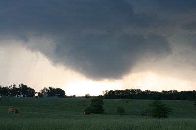
Finding Jazz in the World Around Us

My sweet lady, Lisa, and I took a trip to Meijer Gardens earlier this week. Today, sifting through the photos I took as our tram ride wound along the curvy path through the world-class outdoor sculpture garden, and afterward as we strolled through the remarkable plantings in the children’s garden, I’m struck–as I often am–at how the elements of music are woven into the very fabric of our world.

Jazz is all around us. Form, space, unity, diversity, rhythm, dynamics, improvisation, color, texture, contrast, creativity–whether in music, nature, speech, literature, art, human relationships, or above all, our relationship with God, you’ll find the same qualities working together to create beauty and interest.

Consider the qualities of space and contrast. In a jazz solo, the notes you don’t play are as important as the ones you do. Too much clutter, too many notes in endless procession, ceases to communicate. As in writing and conversation, well-placed punctuation–held notes, brief pauses, and longer rests–helps to shape musical ideas and gives them breathing room. Yet the furious density of artfully placed double-time passages creates another form of color. Both space and density can be overdone; it’s the contrast between the two that helps raise a solo from the doldrums to vitality.

The massive red iron piece titled “Aria” is a great visual representation of the interrelationship between music and art. The piece has a rhythm to it, shape, space, contrast–all the aspects of a well-crafted jazz improvisation.
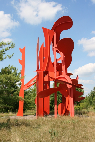
Aria: like a jazz solo cast in metal.

Aria: like a jazz solo cast in metal.

Here are a few more images from the sculpture garden and children’s garden that remind me of music and jazz.
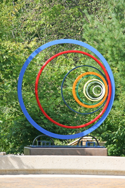
What musical elements can you detect? Space? Sequence? Color? Dynamics?

What musical elements can you detect? Space? Sequence? Color? Dynamics?

This landscape sculpture creates unity out of contrast and serenity out of movement.

This landscape sculpture creates unity out of contrast and serenity out of movement.

If only I could play a solo as creative, spontaneous, and cohesive as this!
If only I could play a solo as creative, spontaneous, and cohesive as this!

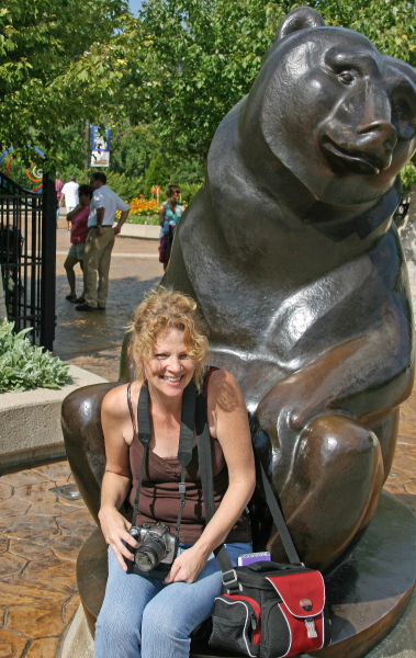
Lisa: the beautiful song God has brought to my life!
Lisa: the beautiful song God has brought to my life!
August Lightning

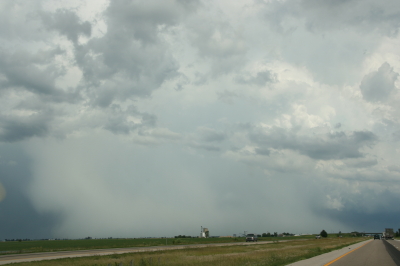
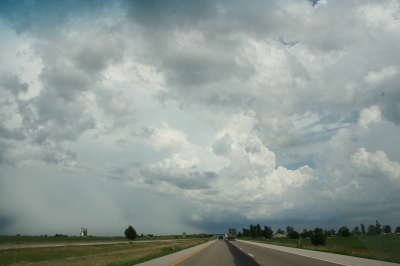
Kurt Hulst and I got together to chase a little lightning last Sunday, August 9.  With dewpoints in the low to mid 70s, temps in the low 90s, and CAPE around 3,000, there was plenty enough gas in the convective tank. Borderline bulk shear and unidirectional winds meant that tornadoes wouldn’t be the order du jour, but it was nice to just get out and watch some storms.

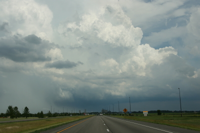
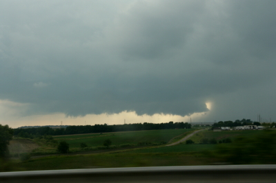
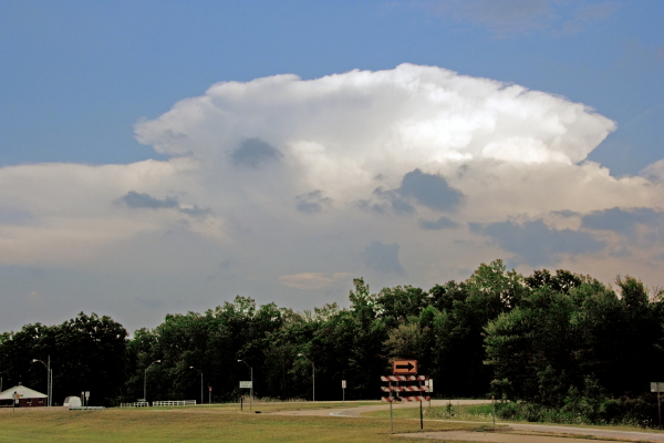
Strong thunderstorm south of Lansing.

Strong thunderstorm near Lansing.

Strangely, even though Kurt and I both knew that it probably didn’t make much difference where we went, north or south–there were a lot of storms to choose from–we had a hard time choosing where we wanted to go. I guess there’s always something that lurks in the back of my head that thinks, I know there won’t be any tornadoes, but just in case, where would one be likeliest to form? It’s dumb, but it’s what goes on in my head and probably what goes on in Kurt’s too, and it tends to needlessly complicate simple choices.

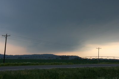
Anyway, we opted to head north and wound up near Saint Johns, where we parked and let a gust front munch us with high winds, spotty but heavy rain, and infrequent lightning.

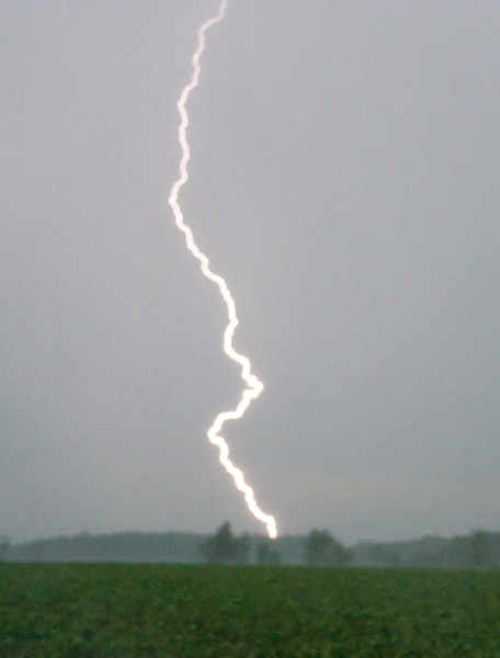
A lightning bolt strikes outside of Saint Johns, Michigan.

A lightning bolt strikes outside of Saint Johns, Michigan.

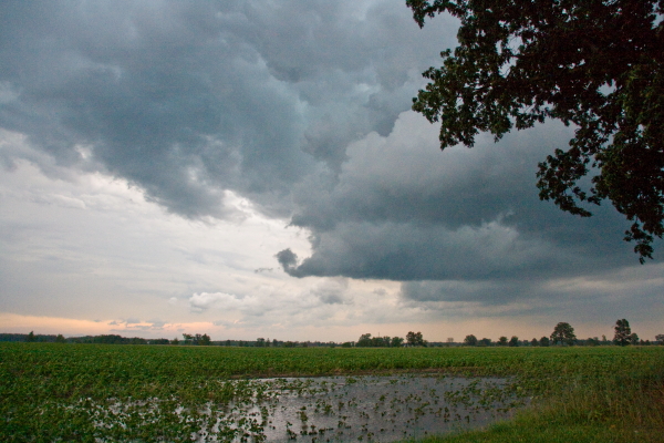
Evening colors tinge receding storm clouds.

Evening colors tinge receding storm clouds.

Afterward, we dropped south on I-69 to Charlotte and caught another cell moving in. Kurt got at least one nice lightning shot. I didn’t get anything at that location, but I didn’t mind. The sunset was extraordinarily beautiful, with melon-colored light filtering through wandering rainshafts and turning the sky to a patchwork of clouds, some catching the sunset rays and others concealing them, like a wardrobe filled with glowing garments and gray rags.

Later that night, a second batch of storms blew through Caledonia, and these ones were most sincere. The lightning was nonstop, but the time was late, I was in bed, and I decided to forgo trying to shoot lightning from my balcony and simply lie there and enjoy the show.

Harlem.org: Jazz History at the Click of a Mouse

Last week, my lady Lisa sent me a link to a very cool website called harlem.org, which invites viewers to “explore jazz history through one photograph.”

Now, the photo in question, taken by Esquire camera man Art Kane, is one I had seen before, and is in fact quite famous. Featuring a veritable who’s who of jazz history, all gathered together on the steps and sidewalk outside an apartment in Harlem, the picture is utterly remarkable. Count Basie, Lester Young, Coleman Hawkins, Dizzie Gillespie, Marian McPartland, Milt Hinton, Mary Lou Williams, Thelonius Monk, Sonny Rollins, Maxine Sullivan, Stuff Smith, Oscar Pettiford…all there, along with many others, fifty-seven in all. The patriarchs and the young lions, side by side.

Still more amazing, however, is how harlem.org has utilized this photo to give you quick, biographical insights into everyone who appears in it. Just mouse over the photo to a general area of interest, click, and that section of the photo is enlarged. Now mouse one by one over the musicians in the enlargement and their names appear in a pop-up balloon. And here’s where it gets good: when you click on a particular musician, a larger window pops up containing a photo and information about him or her.

What I’ve described is just a thumbnail sketch of what the site has to offer. If you’re at all interested in the history of jazz, this website is a must. It’s worth visiting just to see the photo alone, but I promise you, you’ll find much more of value besides.

Of Camp and Cacti: Photos from 4th of July Week

Among the many interests that my sweetheart, Lisa, and I share is a love for photography. This last week we’ve poked around together in the outdoors with our Canon cameras and harvested a variety of images. So rather than write a lot of words, I thought I’d share a few photos with you. They’re about neither jazz nor storm chasing; they’re just odds and ends from nature and life at large.

Last weekend Lis and I headed up to Camp Henry, a Christian camp located on Kimball Lake north of Newaygo, to spend the Fourth of July with our close friend and dear sister in Christ, Kimberly Dunn. Kimber lives in Redding, California, but has been doing a summer internship here in Michigan at the camp. It was great to see her, and during our visit, Lisa and I naturally took a lot of photos.

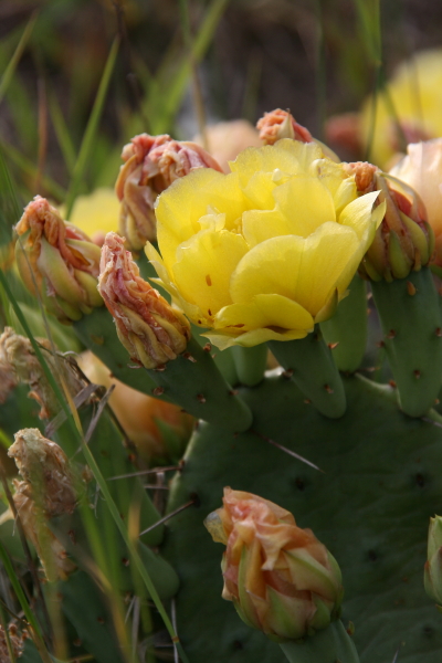
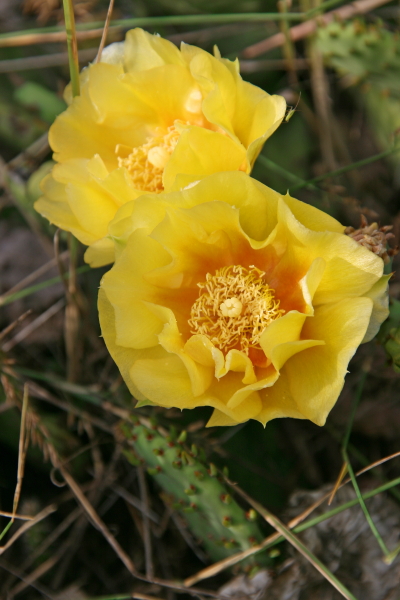
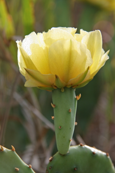
Then yesterday, we went out on a photo expedition to capture prickly pear cacti in bloom. There is at least one species that is native to Michigan, the eastern prickly pear, Opuntia humifusa, also known as devil’s tongue. The blooming season for it is winding down, but there are still plenty of bright, butter-yellow blossoms available to fill a camera viewfinder.

With many photos to choose from, I’ve opted for images from nature and the outdoors, subjects that Lisa and I both gravitate toward more than anything else. I hope you enjoy the selection.

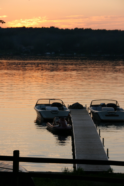
Sunset at Camp Henry

Sunset at Camp Henry

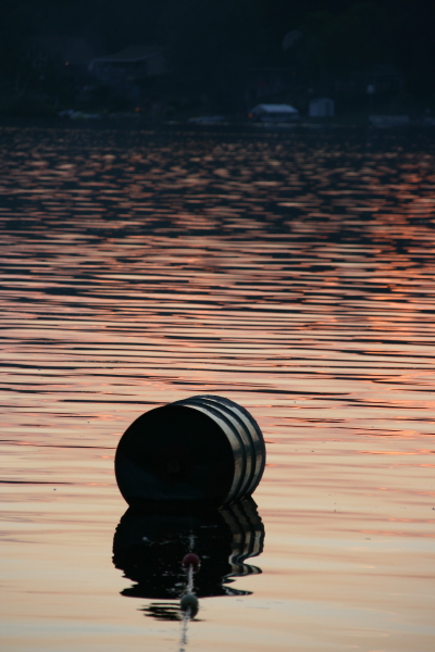
Swimming Buoy at Sunset, Camp Henry

Swimming Buoy at Sunset, Camp Henry

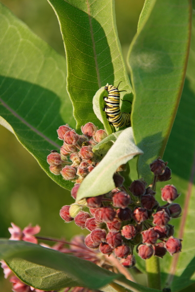
Monarch Butterfly Caterpillar on Milkweed

Monarch Butterfly Caterpillar on Milkweed

Loosestrife Flowers. These are a native species, not the highly destructive exotic, purple loosestrife, which takes over wetlands.

Loosestrife Flowers. These are a native species, not the highly destructive exotic, purple loosestrife, which takes over wetlands.

Eastern Prickly Pear

Eastern Prickly Pear

Also Known as Devil's Tongue

Also Known as Devil's Tongue

Opuntia Humifusa in Flower

Opuntia Humifusa in Flower

Waking Up in Dallas

Morning. I’m still in bed, and from the next room, sounds of family are drifting through the door. I’m in Dallas with my sister Diane, visiting with my brother Brian, sister-in-law Cheryl, and little nephew Samuel. Since the last time I saw him, Sam has transitioned from babyhood to little-boyhood. He has acquired a vocabulary, a white baseball cap that it’s very important to wear (backwards or sideways, as is the custome), and a very cool train set that we played with last night.

My lady Lisa is holding down the fort back in Grand Rapids, where the weather is providing a much cooler contrast to the upper-90s heat that’s on the menu for this week here in north Texas. Chasing storms is of course out of the question. I’ve family to visit, a bit of work to do, and in any case, there are no storms. Summer has hit and the atmosphere is capped as tightly as an oil drum. On Stormtrack, chasers are bidding the 2009 chase season adieu. I note that the SPC has outlooked days 5-6, but they’re not using the kind of language that gets me very excited.

I’m keeping this short. I can hear the sound of forks clicking on breakfast plates. It’s time to shower up and get myself going.

Sax on the Beach

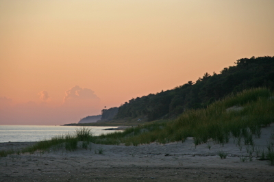
Looking north along the Lake Michigan coast at sunset.

Looking north along the Lake Michigan coast at sunset.

Sax anywhere is great, but sax on the beach is fantastic.

Take a Squeegee to your naughty mind. I’m talking about playing the saxophone, thank you, and about one of the places where I particularly enjoy playing it. There’s something very special about heading out to the lakeshore and practicing my saxophone accompanied by the sound of the waves and the cry of the seagulls.

If you follow the jazz side of this blog, then you know that I love to play my horn outdoors. My practice habits are fairly eccentric in that regard. Many years of apartment dwelling, which include neighbors whom I haven”t wished to disturb, have taught me that my woodshed is wherever I choose to make it. The state parks. The cow pasture at the edge of town. Most often my own car, parked by the railroad tracks out in the countryside.

But there’s no place quite like the shores of Lake Michigan.

It’s been a long time since I’ve taken my horn out there, but yesterday provided a reminder of what I’ve been missing. Regretfully, I didn’t have my saxophone with me, but I did have my sweetheart and best friend, Lisa. From our little outing in Muskegon State Park, I thought I’d share a few images with you of…

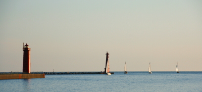
sailboats out on the waters…

sailboats1

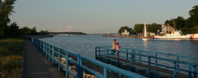
…the north boardwalk along the Muskegon channel…

muskegonboardwalk

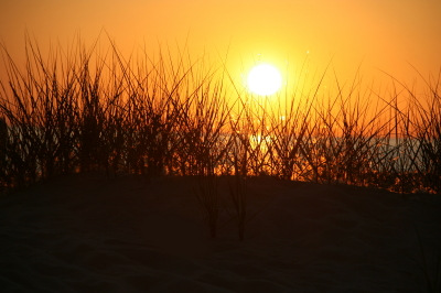
…dune grass silhoutted by the setting sun…

marramsilhouette

As for the great sand dunes that are one of the hallmarks of this beautiful state, I’ve already given you a glimpse of them up at the top of the page, but the really imposing dunes lie in the northern and southern ends of the Lower Peninsula. Perhaps in another post I’ll include some shots of Sleeping Bear, Warren Dunes, P. J. Hoffmaster Park, and Nordhouse dunes–vast tracts of sand, marram grass, and wooded dunes that reflect the wild beauty of the Michigan outdoors. It is a wide open sublimity that speaks to something deep inside me, and that has colored the music I play for many years.

One of these days soon, I will visit the lakeshore again–this time with my saxophone, to serenade the gulls, the waves, the far-stretching sands, and the setting sun.

June 19 Central Illinois and Indiana Storm Chase

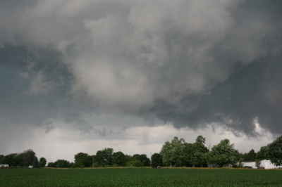
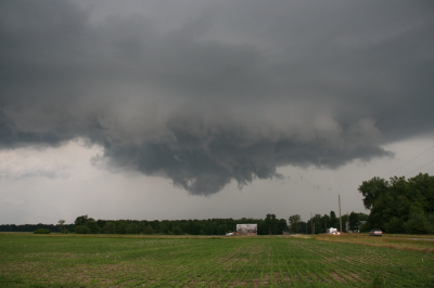
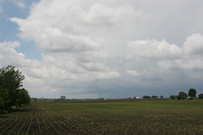
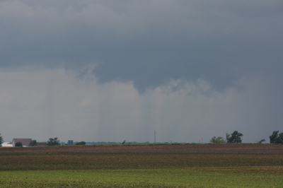
Approaching our storm from the north near Normal, Illinois.

Approaching the storm of the day south of Normal, Illinois.

After Iowa’s blue-sky bust on June 18, yesterday provided some welcome and much-needed activity. Between illness and May’s ridge of steel, my chase expeditions this year have been limited. The Edina, Missouri, tornado of May 13 has been my only tornado to date for 2009. Yesterday did nothing to improve that statistic, but it did offer a vigorous, classic supercell with some great structure that ensured my 1,650-mile, two-day chase with my buddy Bill Oosterbaan wasn’t a complete washout.

For that matter, storms did finally fire in eastern Iowa, and while Bill and I were too late to catch the big mutha that slammed Prairie du Chien (Ben Holcomb, if you happen to read this, great job on tracking that beast into the hills and jungles of Wisconsin!), we did manage to latch onto the one that followed in its footsteps. But I’m no fan of night time chasing and neither is Bill, and knowing the kind of topography that lay to our east once we crossed the river, we dropped our chase at Prairie du Chien and found ourselves a hotel.

After a decent breakfast yesterday morning, we were on the road by noon and headed south. The SPC showed a moderate risk for a large area extending from Iowa and Missouri east across the corn belt and Great Lakes. With a continuation of yesterday’s huge CAPE and good bulk shear, a widespread severe weather outbreak seemed like a sure bet. However, veering surface winds and unidirectional flow seemed to put the kibosh on chances for tornadoes in all but a few areas to the east, where helicities improved, particularly around 21Z.

As we approached Davenport, Iowa, heading south, we could see towers muscling up along an east-west boundary that transected Illinois south of the I-80 corridor. Catching I-80 east, we could see new cells firing up farther to the south on GR3. With a Kankakee target in the back of our minds, we decided to drop toward Normal on I-39.

By the time we drew near the town, the northernmost storm was showing rotation on the radar. The tower was just to our west, and as we proceeded down the highway, the updraft base came into view, dominated by a well-developed wall cloud.

Wall cloud on northernmost storm.

Wall cloud on northernmost storm.

We headed for an intercept, tracking with the storm until it began to degrade. Meanwhile, another cell to the south was strengthening and beginning to exhibit distinct rotation on SRV, so with the storm we were on mushing out, we abandoned it in favor of the second, rapidly intensifying supercell.

One heckuva hail shaft or what?

One heckuva hail shaft or what?

This bad boy had an impressive hail shaft, if hail is what we were actually seeing. Maybe it was just plain old rain with a bit of hail mixed in. The reason I wonder is because of the paucity of hail reports. We got tapped a bit as we closed in, but mostly we just encountered buckets of rain. Whatever the case, the updraft tower with the sunlit precip column was a beautiful sight.

Second storm showing hail shaft and updraft tower.

Second storm showing sunlit precip core and updraft tower.

After working our way south of the storm’s rear flank, we proceeded east and finally gained some good, clear views of the business end. Tracking with it from near Urbana through Homer, Fairmount, and Westville toward the Indiana border, we were in a good position to enjoy the structure as the storm went through several cycles.

Rotating wall cloud.

Rotating wall cloud.

Just east of Homer, the wall cloud tightened and I could see rapidly circulating cloud tags descending toward the ground. We pulled over to watch. The rotation wasn’t far away–maybe a quarter of a mile–and it appeared to be moving toward us. This was strange as we were southwest of the wall cloud, but you can’t argue with a developing tornado. With the updraft approaching to within a couple hundred yards of us, Bill seemed intent on analyzing why the storm was acting so peculiarly, while I favored beating a hasty retreat and working out the behavioral aspects of storm circulation from a somewhat greater distance. Storm chasing sure has its interesting moments.

No tornado materialized, the storm headed east, and we continued on with it. I noticed a couple of tornado reports from around Fairmount and Westville, but while I suppose it’s possible that there was a brief spinup or two, Bill and I never saw an actual tornado. We did witness a few times when the wall cloud began to torque  pretty intensely, and I sure wouldn’t have wanted to be directly below it.

The whitish wall cloud is half a mile from us and rotating vigorously.

The whitish wall cloud is half a mile from us and rotating vigorously.

Possibly a funnel cloud at this point.

Possibly a funnel cloud at this point.

But from the time we first intercepted it to the point where it finally began to fizzle 120 miles later west of Crawfordsville, Indiana, the storm was outflow-dominant. Never once did we enounter surface inflow, though above ground level, I’m sure inflow was strong. In Bill’s words, the circulation kept reaching toward the ground, looking for something to grab onto, but it never could manage to root and produce a tornado. If we’d had backing winds…if the helicities had been there…I’m sure the storm would have been a potent tornado breeder. It never got its act together in that regard, but I doubt the communities in its path felt terribly disappointed, and from my perspective, the storm provided an interesting chase with some very nice moments.

Last gasp: wall cloud at US 41 west of Crawfordsville, Indiana, shortly before the storm began to collapse.

Last gasp: wall cloud at US 41 west of Crawfordsville, Indiana, shortly before the storm began to collapse.

For sheer structure, the “Danville supercell” was interesting and photogenic, with some nice RFD slots wrapping in, and, toward the end of the storm’s career, with a classic, stack-of-plates mesocyclone that was as nice as anything I’ve ever seen. (Sorry, no photos–the ones I have didn’t turn out well.)

One downside to this chase–and it is a big one–is that somewhere between Homer and US 41, I lost my camcorder. It wasn’t a pricey camcorder; it was a used Sony that I bought from my friend and fellow storm chaser Kurt Hulst. But it has done me good service over the past year, and I hate to think that it is presently sitting out there by the side of some Illinois backroad. What’s even worse is, my video of this chase is in it.

The drive back to Grand Rapids was a long one. I arrived at my apartment around 2:30 a.m. and collapsed. The chase was fun and I think I needed it, but it’s good to be back home with the love of my life, Lisa, whose bright eyes and beautiful smile warm my heart wherever I travel.

June 8: Mini-Supercell in Northern Illinois and Severe Squall Line on the Lake Michigan Shoreline

This is really part two of the previous post. After chasing a potent, monster hailer of a supercell north of Saint Joseph, Missouri, I overnighted at a hotel outside of Des Moines, Iowa. When I stepped outside the next morning, the air was much cooler and drier, a stable atmosphere that wouldn’t produce so much as a sneeze, let alone a tornado.

But I knew that the SPC had outlooked the area to my east across northern Illinois, and for several days I myself had been eyeballing my home state of Michigan, where the NAM-WRF had been consistently indicating the possibility of tornadoes. With a little luck, I hoped to make it back in time to chase whatever convection might pop up along the warm front.

As I approached Davenport, I observed  towering cumulus muscling up through the troposphere. However, I didn’t pay them any attention–that is, until Bill Oosterbaan called to inform me that the SPC had just issued a mesoscale discussion for the area just east of me. Even as we talked, I noticed a lowering on a cumulus tower a mile or two to my northeast. When it continued to develop, I decided to investigate. Leaving I-80, I parked across from a truck stop at the Atkinson exit to watch.

The next cell to my west quickly grabbed my attention. It had a nice rain-free base, and as I watched, scud began to form and ascend in an obvious updraft, coalescing into a small, ragged wall cloud. Grabbing my camera and getting out of my car, I noticed right away that the air was very different from back in Des Moines–considerably warmer and with plenty of moisture. The wall cloud fell apart before I could get a pic, but the overall structure remained interesting.

A mini-supercell approaches Atkinson, Illinois, just north of I-80.

A mini-supercell approaches Atkinson, Illinois, just north of I-80.

More brief, non-rotating wall clouds formed and dissipated one by one, so I figured I’d head north of town and observe. With surface winds veering and the overall flow unidirectional, I had no expectation of seeing tornadoes, but the mini-supercell made for some fun and interesting viewing.

Ragged, non-rotating wall cloud.

Ragged, non-rotating wall cloud.

Distant wall cloud and back side of main updraft tower.

Distant wall cloud and glimpse of updraft tower.

I was tempted to follow the storm, but decided it was a red herring. If at all possible, I wanted to make it back to Michigan in enough time to chase the setup there, and that left me no time to play around on the western Illinois backroads. So I headed back to I-80 and busted east.

The first Michigan supercell fired up earlier than I’d hoped, and I bit my lip as I followed its progress on GR3 and watched it hit Lansing. If only I had driven east last night for two more hours, or left in the morning two hours earlier… But the previous day’s chase had left me exhausted. And you know, one of the downsides of being a Michigan-based storm chaser is, you just don’t have very high expectations when it comes to your home state. I mean, it’s Michigan. Home of convective table scraps, squall lines, and embedded supercells that don’t produce squat.

As it was, I watched several more storms fire up and develop rotation along the warm front that stretched across mid-Michigan. I was making decent progress and still had hopes of catching up with some of the southernmost cells. But by the time I crossed the state line, the action all had shifted well to the east, and it became clear that I wasn’t going to see any of it.

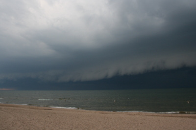
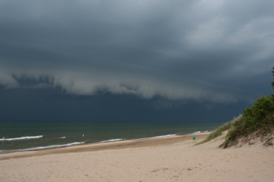
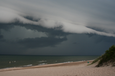
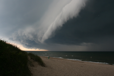
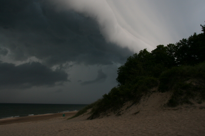
Instead, taking fellow chaser Mike Kovalchick’s suggestion, I headed toward the lakeshore at Allegan Beach to intercept a short but potent squall line. I’m glad I did. The backdrop of Lake Michigan and its dunescapes lends a breathtaking drama to incoming storms. The following photos depict the progress of the arcus cloud moving in across the waters. What these images can’t convey is the full, awe-inspiring sweep of cloud, big lake, and shoreline; of the solemn foreboding of some great event about to unleash itself upon a landscape cloaked in storm shadow; of the shelf cloud moving silently overhead like the furrowed eyebrow of a dark, scowling giant; and of sand spray blowing and trees thrashing in the wind as the gust front arrived.

I’ll let the photos tell their story as best they can, and leave the rest to your imagination.

An arcus cloud advances toward the Lake Michigan shoreline at Allegan Beach.

An arcus cloud advances toward the Lake Michigan shoreline at Allegan Beach.

View to the north.

View to the north.

Looking south...the storm closes in.

Looking south...the storm closes in.

Looking north...closer still.

Looking north...closer still.

Almost overhead.

Almost overhead.

One last shot to the north, then it's time to make a dash for the car.

One last shot to the north, then it's time to make a dash for the car.

June 7 Northwest Missouri Supercell

Now that I’ve had a chance to rest up and catch up after Sunday’s chase in northwest Missouri, it’s time to do a writeup. I’ll summarize by saying that there were no tornadoes, but there was some great structure along with hail the size and disposition of wild boars.

My plan was to hook up with Bill, Kurt, and Tom, who had headed west a day ahead of me in anticipation of chaseworthy storms. Unfortunately, a stout cap quashed an otherwise potent setup, and the guys–along with lots of other storm chasers–endured a blue sky bust. Like I told Bill, they needed me out there with them to erode the lid for them.

I left around 10:00 Saturday night and drove as far as Davenport, Iowa, where I overnighted. The next day, I hightailed it for Topeka, Kansas. Bad route choices delayed my arrival, and storms had already initiated by the time I got within the vicinity. But that actually simplified my choice. Rather than heading into Kansas, I worked my way north of Saint Joseph, Missouri, along I-29, then hit the backroads to intercept a supercell that was making its way across the border near Rulo, Kansas.

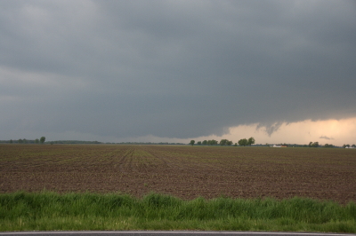
Parking my car outside of Big Lake, Missouri, I set up shop and got some nice photos as the storm moved in. The base was lowering and developing a rotating wall cloud. Here is what the storm looked like when I took my first shot.

Wall Cloud at Big Lake, Missouri, June 7, 2009

Wall cloud at Big Lake, Missouri, June 7, 2009.

The cloud was southwest of me and moving eastward, which meant that I could expect plenty of rain and probably a good clobbering by hail. In a little while, sure enough, golfballs began to fall all around me. No rain, just sizeable hail. The cloud at this point was directly to my south and looked like this:

Wall cloud passing to the south.

Wall cloud passing to the south.

It was time to vamoose, and none too soon. The advance guard of a veritable armada of storm chasers was driving by. I pulled in behind the DOW (Doppler On Wheels) and other Vortex 2 vehicles and followed them toward Forest City. By the time I reached SR111 and began heading south, I had pulled ahead of the circulation. I wanted a few photos of the wall cloud advancing directly toward me, so I found a place to pull aside. Opening the car door, I stepped out into some ripping inflow and snapped a few shots.

Wall cloud approaching SR 111 north of Forest City.

Wall cloud approaching SR 111 north of Forest City.

I missed the really big, gorilla hail that some chasers encounterd, but the occasional baseball size was big enough for me. Somehow I escaped getting hit by the larger chunks, though one of them hit my roof squarely with a loud whack. I still haven’t checked to see whether there’s a dent.

Eventually I caught up with the guys at the I-29 overpass, where a zillion other chasers were also parked. Seems like everybody and his dog’s first cousin was on this storm. If I ever get rich enough to purchase a dedicated chasemobile, it won’t be an SUV or a TIV-style monstrosity. It’ll be a concession van with a fold-out bar.

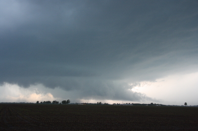
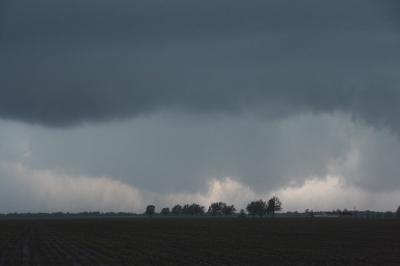
Anyway, Bill, Tom, and Kurt forged ahead and I followed them for a ways, but eventually opted for a more southern route when they headed north toward Union Star. I figured they’d be hitting heavy precip and probably some nasty hail, and I wanted to stay on the south edge of the updraft, which was heading east by southeast. Here are a couple photos from what was, from my vantage point, one of the more promising episodes in the life of the storm.

Wall cloud with clear slot wrapping in.

Wall cloud with clear slot wrapping in.

Possible funnel cloud trying to develop.

Possible funnel cloud trying to develop.

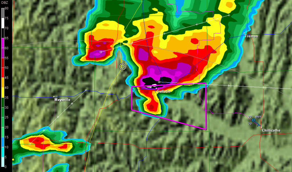
I believe the above shots were taken near Amity. From there, I headed east through Maysville and Weatherby, and across I-35 to just west of Altamont. There, I decided to end the chase and start heading home. The storm at that point was heading into Gallatin and was showing one of the best reflectivity echoes of its career on GR3.

Base reflectivity showing tornado-warned storm approaching Gallatin.

Base reflectivity showing tornado-warned storm approaching Gallatin.

But darkness was closing in, and I had no desire to chase this storm at night through the hinterlands of northwest Missouri. At that point, I was thinking about overnighting in Des Moines, and I had miles to go before I slept.

May 13 Tornado in Northern Missouri

Updraft Base

Updraft Base

This is the view that met us as we pulled off the road a couple miles north of Edina, Missouri, yesterday evening. “We” were Bill Oosterbaan, Derek Mohr, and me, and what we were looking at was the only supercell in Missouri on Wednesday, May 13, to produce a tornado–this despite a sizeable moderate risk that swept across most of Illinois and Missouri all the way down to Kansas and Oklahoma.

The storm was showing strong rotation, and had already put down a damaging tornado twenty miles to our west in Kirksville. We lost Internet connection as we approached the storm, but our last scan showed what appeared to be a storm merger with two distinct areas of rotation. The radar didn’t lie, and the proof of it provided an interesting scenario.

Wall Cloud Forming

Wall Cloud Forming

In the second image, you can see a ragged patch of scud ascending to the right and in front of the lowering in the background. This is the beginnings of what became an impressive wall cloud. Within a couple of minutes, the scud had matured into this…

Wall Cloud

Wall Cloud

The tail cloud to the right continued to grow to an astonishing length, displaying vigorous motion, feathering in rapidly toward the updraft. Meanwhile, a rain curtain began to wrap in from the south behind the wall cloud. This suggested a second mesocyclone following in the wake of the first area of rotation. I commented on this in the video I took of the storm, and my hunch soon proved true.

As the storm drew nearer, another prominent lowering began to emerge. It was exhibiting rapid motion, moreso than the more visually interesting wall cloud in the foreground. A tornado appeared immanent within this broad rotation, and in another minute multiple vortices were square dancing in the distance. One vortex soon tightened up and became dominant, fattening up into a nice hose. But the rain bands were starting to conceal the tornadic activity, and in a bit it was hard to tell exactly what was happening.

The storm quickly evolved into a nasty high precipitation beast, and from then on any tornadoes were effectively cloaked in rain.

Sorry, no stills of a well-formed tornado–I had set my camera down in favor of my video recorder–but I did manage to capture what looks to have been the beginnings of the multiple vortex phase.

Multiple Vortex Tornado

Multiple Vortex Tornado

No, you can’t see any visible touchdown in the photo, so maybe the circulation wasn’t tornadic at that moment.  If not, it was shortly after. I sure wouldn’t have wanted to be standing underneath it.

After the chase, Bill dropped Derek and me off where we had left our cars at the K-Mart in Springfield, Illinois. Then the three of us headed off in our respective directions–Bill toward Corydon, Indiana; Derek toward northern Michigan; and I back toward Grand Rapids. On my way home, I picked up fellow Michigan chasers Mike Kovalchick and Mike Bishop. They had experienced an automotive failure that took them out of the chase, forcing them to ditch their vehicle in Lincoln–truly a bummer. It was great to reconnect with Mike Kovalchick, and to meet Mike Bishop for the first time. Having a couple fellow storm chasers in the car sure made the long trip home seem shorter.

The day out chasing did me a world of good, but I need a good night’s sleep, and I have work to do tomorrow. By the time the next round of weather arrives, though, I should be primed and ready to go.