I’d been looking forward to the shift in weather with fall’s arrival, but now that autumn is officially here, I dunno, boys and girls. I’m beginning to suspect that the mythical “second season” may not materialize for storm chasers this year–not in the Great Lakes, anyway. You folks out west will no doubt get your little romp, but up here in the tundra land of Michigan instability appears to be a thing of the past. I have to remind myself that it’s been only a week since one heck of a squall line blew through and caused extensive tree damage in my area. A couple of days later, though, as the system lifted out of the region, the moisture gave way to the relentlessly dry, crystal-blue skies of autumn, and I have the unsettling feeling that the die has been cast for the remainder of the year.
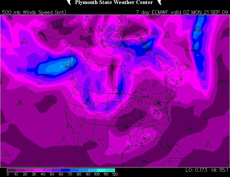
Today’s 4-8 day outlook from the SPC doesn’t make me feel any better about our immediate prospects:
 VALID 021200Z - 071200Z

   ...DISCUSSION...
   MODELS ARE IN GOOD AGREEMENT WITH THE PATTERN EVOLUTION THROUGH
   ABOUT SUN/D5 WITH LARGE TROUGH AMPLIFYING ACROSS THE GREAT LAKES AND
   ERN STATES AND AN UPPER RIDGE OVER THE ROCKIES. THIS PATTERN WILL
   RESULT IN A LACK OF INSTABILITY E OF THE ROCKIES WITH HIGH PRESSURE
   AT THE SURFACE.

   WHILE THE TROUGH IS FORECAST TO LINGER IN SOME FORM OVER THE ERN
   CONUS...THERE IS MUCH DIFFERENCE ASSOCIATED WITH THE BREAKDOWN OF
   THE RIDGE AS A NEW TROUGH AFFECTS EITHER THE PACIFIC NW/GFS
   SOLUTION/ OR THE ENTIRE W COAST/ECMWF SOLUTION/.  REGARDLESS...THERE
   IS LITTLE CHANCE OF SEVERE WEATHER GIVEN MEAGER MOISTURE AND
   INSTABILITY.

   ..JEWELL.. 09/29/2010
“Lack of instability..little chance of severe weather…meager moisture…”–mmmph, doesn’t sound very promising, does it? I console myself with the thought that autumn has barely begun, and a nice fetch of moisture can still come chugging northward on the leading edge of some great dynamics to make life interesting. It happened as late as November 10, 2002, in Van Wert, Ohio. It happened just three years ago on October 18, 2007, across the Midwest, including here in Michigan. So my rule of thumb is, don’t pack away the laptop until the snows fly.
Still, as daytime temperatures retreat into the mid 60s and dewpoints drop to 50 degrees and below, it’s kind of hard to believe that the end of the parade isn’t long gone, and that last week’s wind event wasn’t just the cleanup crew. Good thing that this season’s “Storm Chasers” series will be airing soon and letting us all relive the glory days of 2010. After that, though…man, it sure is a long stretch from here to next March.


