Lacking the cash to head west for tomorrow’s setup, the best I’m going to be able to do is gaze forlornly at the radar, gnash my teeth, and hope my buddies Bill, Kurt, and Mike are catching tornadoes and staying safe.
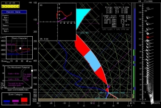
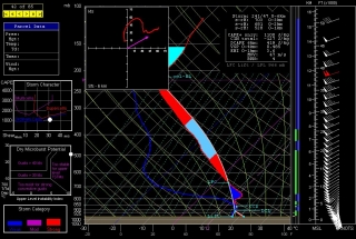
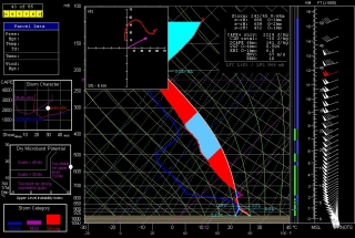
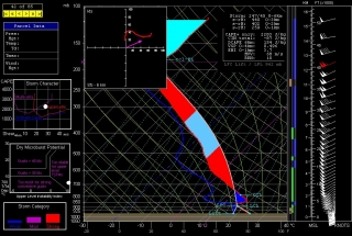
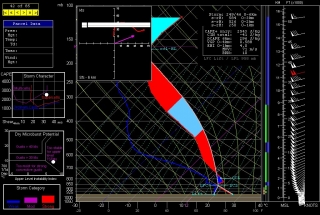
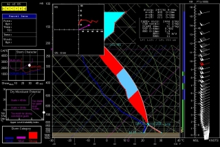
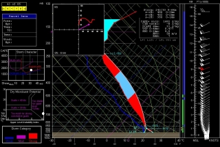
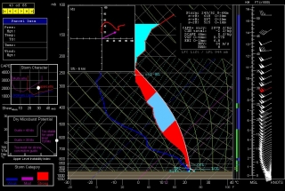
I’d be smart to not even look at the models, but a perverse part of human nature makes it hard for me not to. Out of curiosity, I’ve interrogated a few NAM 6Z forecast soundings from around southeast Kansas and northeast Oklahoma. I suppose the results are nothing new: plenty of moisture and CAPE, great shear and helicity, and a stout cap that lingers till evening, at which point the atmosphere looks primed for discrete, tornadic supercells to explode.
Most of the soundings shown here are for 23Z, but the one for Tulsa, shown above, is for 22Z, since the cap looks to minimize earlier there (21Z, not shown, also looks decent, with -46 J/kg CINH, up from -198 the previous hour). For KCNU (Chanute, KS), I’ve also shown the 00Z so you can compare the difference; and for Hutchinson, which at 525 1km SRH has the highest helicity value of the different soundings, and for Wichita, I’ve shown only the 00Z, since prior to that the cap looks pretty stout. Look below for all the soundings except Tulsa, and make sure you click on the images to enlarge them.
Beyond this, I’m not going to comment. To those who are out there on the Plains waiting for this setup to arrive and ripen, I wish you success and safety.
