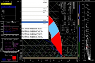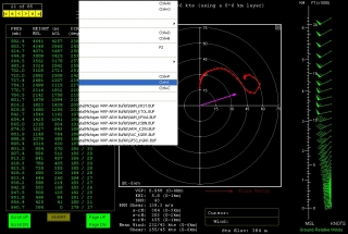
 Look at this skew-T and hodograph and tell me they’re not to die for. They’re the 00Z NAM for tomorrow, 21Z, at Rochester, Minnesota. Click on the images to enlarge them. (Apologies for the weird pulldown menu obscuring parts of the images. I don’t know why that happened.)
Unfortunately, I can’t afford to chase tomorrow, but I have a hunch that those who do will be rewarded for their efforts. This particular sounding is just a sampler. I’m not sure what to think about that surface-based CAPE. It’s
over 6,000 J/kg. If that even comes near to verifying, the western Great Lakes could be in for a convective blitzkrieg. The 1 km EHI is 5.8 and the 4 km VGP is .968. Lifted index at -12.6–can that be right? I guess I kind of suspect readings like that–the instability seems just plain absurd.Wish I could make it out there. Good luck to those who do, and stay safe. For a summer setup, this thing looks insane. I will be watching the radar tomorrow evening, that’s for sure.


