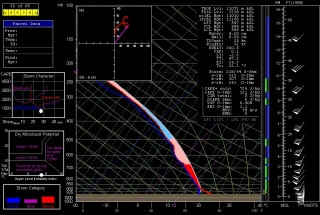
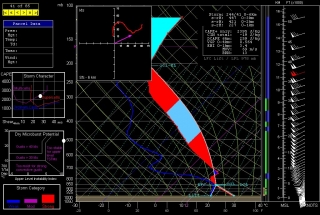
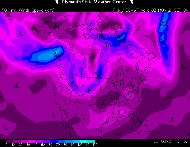
Given the unreliability of long-range forecast models, there’s a lot of justifiable skepticism in the storm chasing community when someone (like me, for instance) talks about an event that’s 120 or more hours out. Beyond maybe three days, trying to forecast weather events becomes increasingly like reading tea leaves. We watch the ECMWF and GFS for signs of agreement and consistency, and if they start showing up, we cross our fingers, knowing that a lot can happen between now and payday.
So I’m not sure what to think when the revered Farmers’ Alamanac gazes into its crystal ball and issues with serene confidence the following prognostication for the Great Lakes region:
November 2009
1st-3rd. Sunny, with increasing clouds. 4th-7th. Rain spreads in from the west. Turning clear and frosty. 8th-11th. Rapid temperature changes. Storm moves east, with heavy rain or wet snow. Frigid cold air follows. 12th-15th. New storm moves into Great Lakes. Heavy rain and/or wet snow. Then clearing and very cold. 16th-19th. Storm sweeps across the area, followed by very cold air. Fast-moving storm, reaching the region by the 19th. Heavy snow, followed by colder air. 20th-23rd. Cold Canadian front brings rain and thunderstorms for the Great Lakes region. 24th-27th. A wet Thanksgiving. 28th-30th. Few rain or wet snow showers. Turning colder.December 2009
1st-3rd. Rain and wet snow shift into the Great Lakes, south to Kentucky, followed by clear and cold weather. 4th-7th. Storm Ohio River Basin deposits heavy rain and wet snow. Very cold air follows. 8th-11th. A “winterlude” for Great Lakes and the Ohio River Basin. Temperatures still well below seasonal norms. 12th-15th. Scattered snow showers and flurries. 16th-19th. Considerable cloudiness over most areas, but little precipitation. Nights are seasonably cold, days are mild. 20th-23rd. Rain and/or snow.
Not being a climatologist, I’m unaware of what sophisticated meteorological resources the Farmers’ Almanac may be tapping into. Possibly they’ve been consulting woolly bear caterpillars. According to folklore, you can tell how severe the winter will be by the ratio of brown to black banding on the woolly bears. Plenty of brown means a mild winter; wide black bands with little brown points to a nasty snow season. A few weeks ago, I found an all-black woolly bear. I knew that couldn’t be good.
If only we could get the woolly bears to cooperate when storm chasing season is underway. But the little critters have other things on their minds by then, namely, pupating and becoming Isabella tiger moths. So I guess we’re stuck with the Euro and the GFS. Or sacrificing chickens, though the research supporting the link between chicken sacrifice and improved storm intercepts is slim.
No doubt the government is covering up the information, just like they do everything that’s related to severe weather. They want us to remain ignorant, unsuspecting guinea pigs while the weather gods at Norman conduct their insidious experiments, using their array of antennas and radars to generate monster tornadoes 400 miles away and then guide them unerringly through populated areas. Take the May 13 Kirksville, Missouri, tornado, for instance. That one had Government Issue written all over it. The lack of a single shred of substantiating evidence just goes to show how expert Big Brother is at keeping the truth hidden.*
That’s why you’ll find no NOAA papers correlating tornado outbreaks and chicken sacrifice. Same with woolly bears and long, hard winters–though the Farmers’ Alamanac folks, bless their hearts, have obviously made the connection, and hence, they have the weather for November and December pretty well locked in. I call that kind of forecasting ability reassuring.
As for the rest of us, well, we’ve got the ECMWF, the GFS, and tea leaves. How do you like your tea?
_______
* The following disclaimer is intended only for those who take me seriously: I’M JUST KIDDING! Sad that I’ve even got to say it, but the truth is, some folks out there do in fact believe some damn crazy things about the government’s ability to manipulate the weather. I’m not one of them, and I wouldn’t want to be mistaken for such.
That being said, I would love to see the SPC’s research on chicken sacrifice and tornadogenesis.


