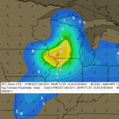
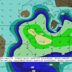
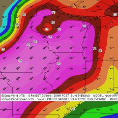
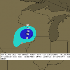
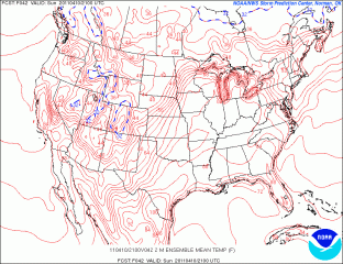
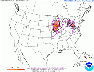
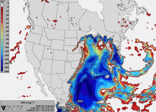
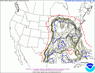
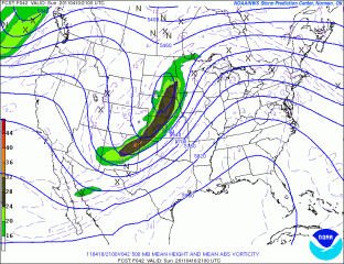
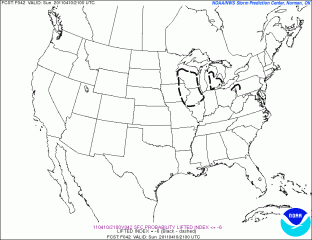
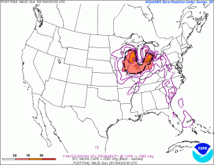
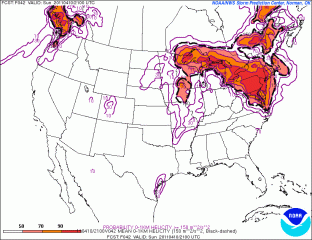
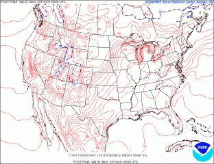
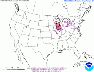
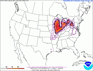
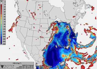
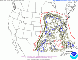
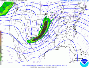
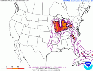
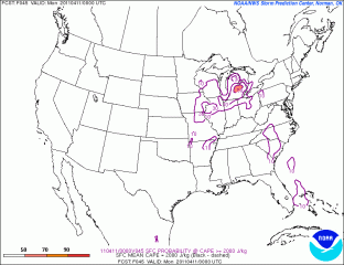
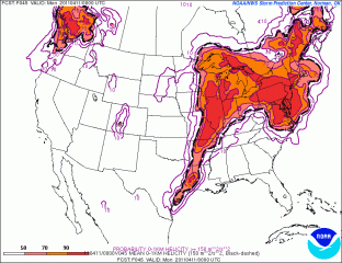
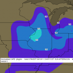
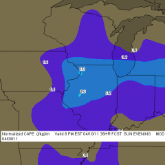
Tomorrow looks to be a big severe weather day in the upper Midwest and Great Lakes. It will also be my first storm chase of 2011, and with departure time less than 24 hours away, I’ve been scrutinizing the forecast maps, mainly the SREF and NAM.
Whew! There are some formidable parameters coming into place for southeast Minnesota, northeast Iowa, much of Wisconsin, and northern Illinois. The SPC has outlooked this area for a moderate risk, with a mentioned of strong, long-lived tornadoes, and it’s not hard to see why. The one thing that bothers me is the marginally veered ambient surface winds overlaid by 500 mb winds from the southwest. Backing shows up way to the north in Wisconsin, in horrible territory for chasing.
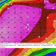
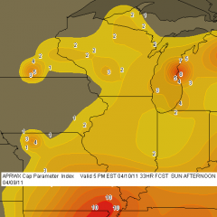
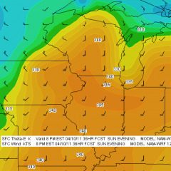
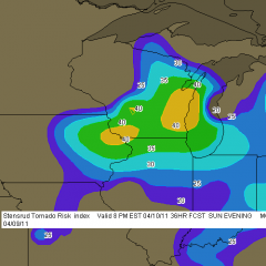
So my present choice for a target is Dubuque, Iowa. According to the NAM, the jet core is aimed in that direction. CINH wants to erode there, MLCAPE looks great, there’s a nearby 3 km MLCAPE max of 75 J/kg (forecast soundings may show better than that–haven’t looked yet), and…well, look down below at the maps I’ve been perusing and judge for yourself. There are a lot of them. In many cases, I’ve shown both 21Z and 00Z so you can see the progression of dynamics.
With height falls and vorticity moving in from the northwest, it may take a bit of will power not to get lured in that direction where the first storms will likely fire in Minnesota and start putting down tornadoes. They’ll be rocketing northeast along the warm front into rough territory, and patience will be the key to remaining in an area where the roads are decent and the prospects of seeing tornadoes instead of trees is better. I think our best play will be from northeast Iowa through northern Illinois. But I’ve got three other team mates with a vote, and I’m not the guy who’s driving. Plus, the best dynamics may have changed by tomorrow. This post just lays out what I’m seeing right now.
And now I give you the maps I’ve been looking at. Click on them to enlarge them. Please forgive the lack of organization. I added the 12Z F5 NAM maps to the gallery after I processed the others, which makes for a lot of maps. I just don’t want to take the time to get them all in order. The SREF maps are no doubt already dated as I hit the publish button, and I think it’s important for me to keep the data as current as I can. I figure that if you’re savvy enough to make sense of these models, then you’re smart enough to know how to compare them!
Good luck and safe chasing to all of you who head out tomorrow.
