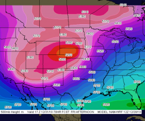
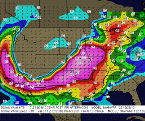
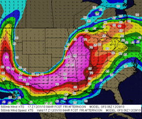
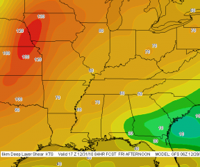
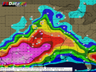
Whichever model gives the more accurate picture–the GFS or the WRF-NMM–one thing is sure: we Michiganians can say good-bye to the leaves. This Friday’s weather system promises to be a real October leaf-stripper, with a formidable low-pressure center deepening rapidly as it moves through Ontario.
The two forecast models continue to differ in timing, with the GFS moving the cold front rapidly through the state’s mid-section by 18Z, while the NAM plays it more conservatively and backs the surface winds considerably more. The NAM is also much more aggressive with 850 mb winds, with the 12Z run calling for 75 knots (!!!), while the GFS dribbles out a paltry 55-knot LLJ.
I have a hunch that the GFS is closer to the truth, though of course, time will tell.
Both models agree that instability will be non-existent. Not much there to gladden the heart of a storm chaser. But by golly, we’ll be seeing some wind. Bye-bye leaves!
For the sake of comparison, I took a sampler of 6Z model soundings for both the GFS and the NAM for Jackson, Michigan–a nice, central location that should offer a good compromise between both models. The differences are striking. Click on the images to enlarge them. For 21Z, I’ve shown only the NAM; by that time, the GFS has the winds lined out.
Forecast hours for Friday, October 30
15Z
GFS
NAM
18Z
GFS
NAM
21Z
NAM
