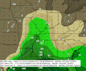
It starts out as a relatively small, innocuous-looking low straddling the California and Nevada border, but by Wednesday afternoon, look out. It’s no longer out west and it’s no longer meek and mild-mannered. According to
today’s 12Z NAM, it’s perched squarely over Michigan, and with a sea level pressure of 976 mbs at 18Z and continuing to deepen, it’s downright ugly. (Click image to enlarge.)El Nino, Schmell Nino–we are in for one heck of a Great Lakes bomb. The NWS office here in Grand Rapids is calling for a wintry mix in my area changing to all snow, and nothing but snow starting just a little farther north. Wherever you live in the western Great Lakes, though, Wednesday and Thursday are not going to be pleasant. Get set for a one-two punch of winter precip followed by a windy blast of very cold air wrapping around the back of the low as it tracks northeast into Canada, intensifying on the way.
Time to stock up on supplies. Unless you’re a winter weather freak, Wednesday is not going to be a pretty picture.


I’m halfway debating trying out my new 4 wheel drive truck up northwest of GR tomorrow We’ll see. I have the day off